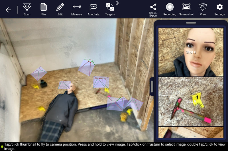
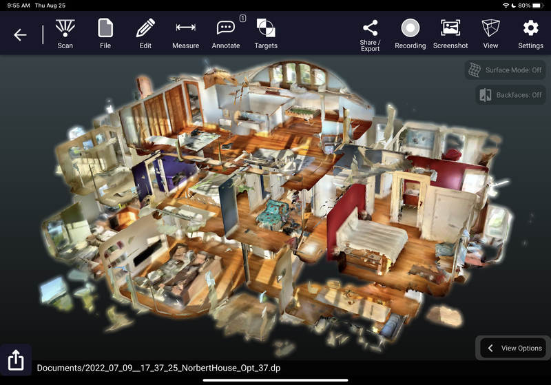
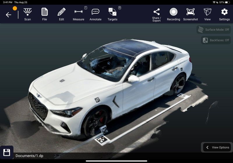
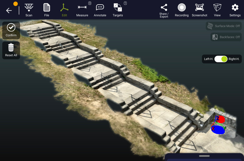
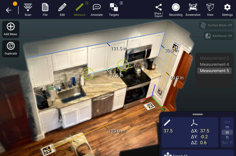
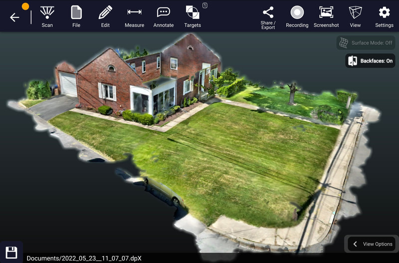
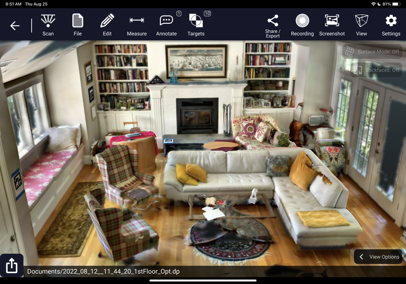
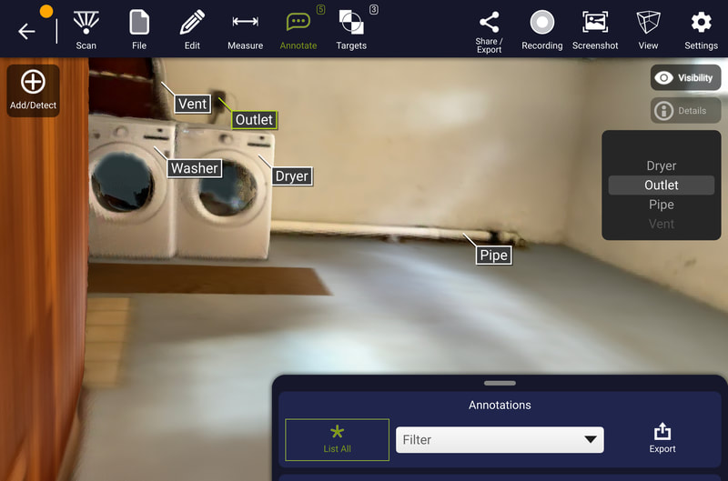
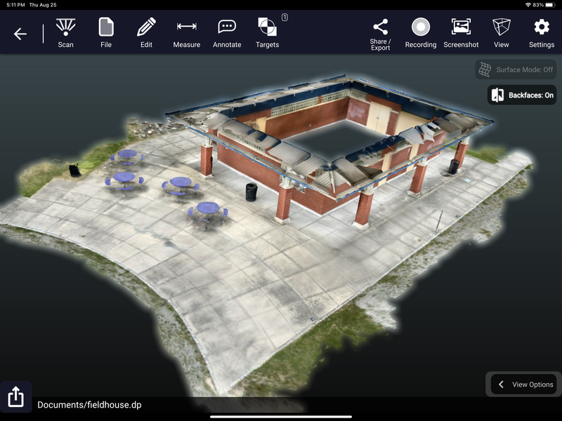
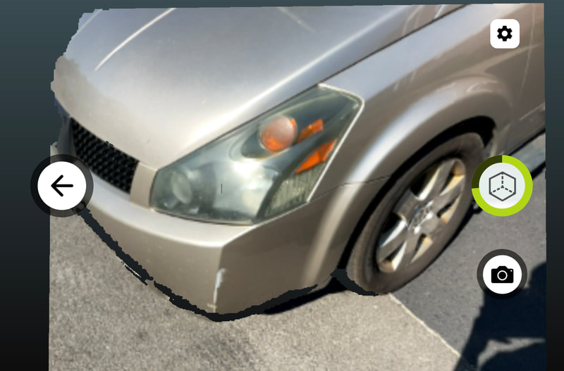
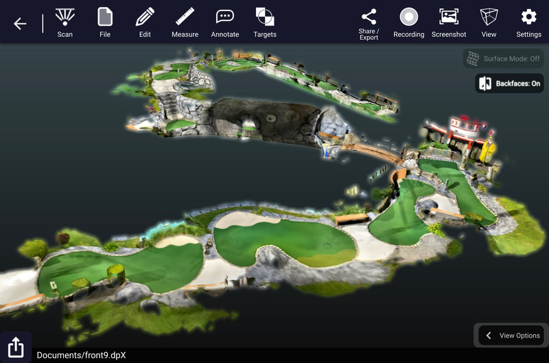
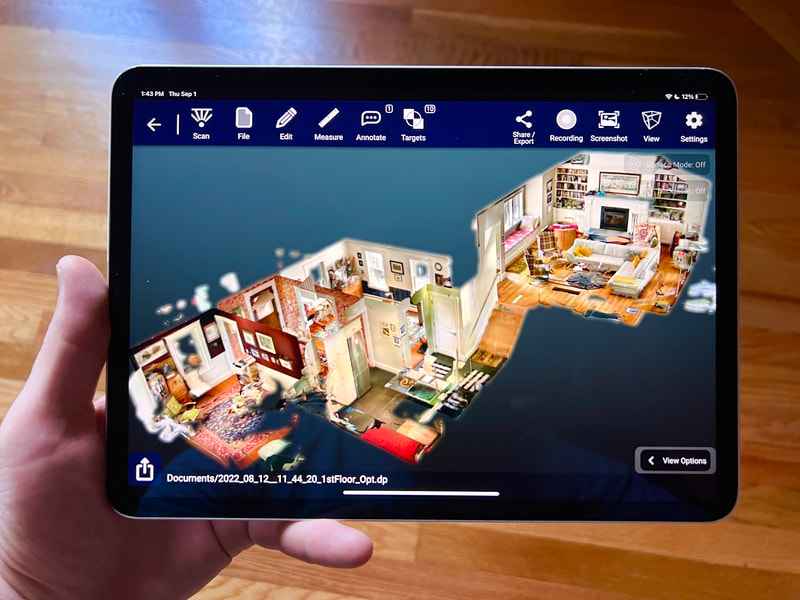
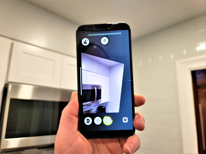
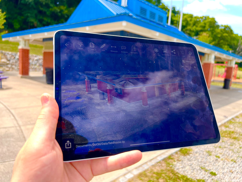
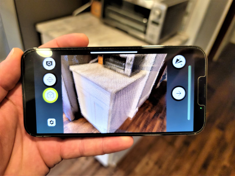
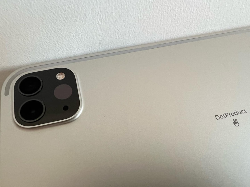
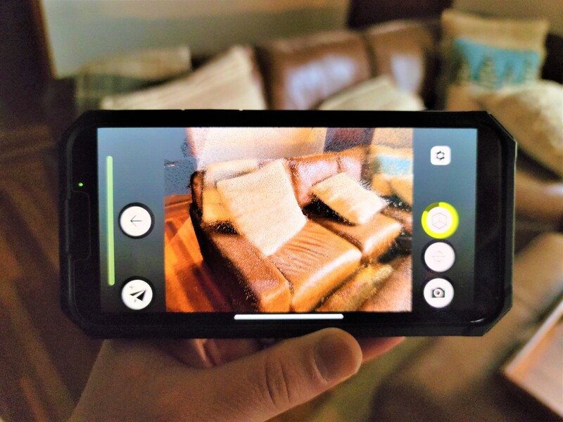
Welcome to the future of 3D laser scanning. Dot3D, the leading professional handheld 3D scanning application, has arrived on iOS. Turn your LiDAR-equipped iPhone or iPad into a 3D scanning powerhouse with our award-winning scanning platform that has been rebuilt from the ground up to deliver the the largest scale and most accurate color 3D point clouds attainable on iPhones and iPads, while maintaining incredibly rapid processing, and continuing to do it all locally and securely on your device.
This point-and-shoot technology is empowering workforces across a wide range of professional industries in need of accurate and reliable 3D capture solutions: Police departments, surveyors, naval engineers, general contractors, architects, insurance agents, crime scene analysts, government agencies, BIM specialists, archaeologists, interior designers, real estate professionals, and so many more are all turning to Dot3D for their mobile 3D scanning needs.
Start with a free trial and subscribe whenever you're ready to access the full functionality and export directly to all your downstream workflows in CAD, geospatial, forensics, VR, AR, and much more.
Core features:
|
• Real-time 3D reconstruction on your device with practically unlimited scan size
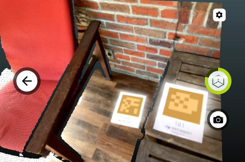
• No cloud processing required: all local data optimization for accurate results • Annotate while you scan with high-res pictures and point annotations • Automatic detection of AprilTag targets for intelligent accuracy improvement • Optional targeting workflows to reference known measurements / coordinates • Precise, savable 3D measurements and annotations • Convenient 3D editing and coordinate system functions • Direct color 3D point cloud export: DP, E57, LAS, LAZ, PTS, PTX, PLY, PTG |

