Capture and deliver Existing Conditions of Electrical Vaults, Underground Manholes, and Infrastructure
|
|
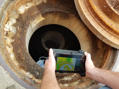
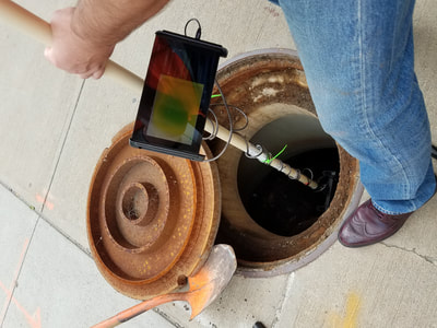
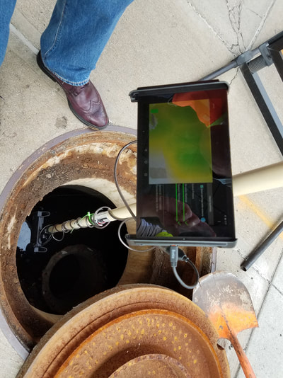
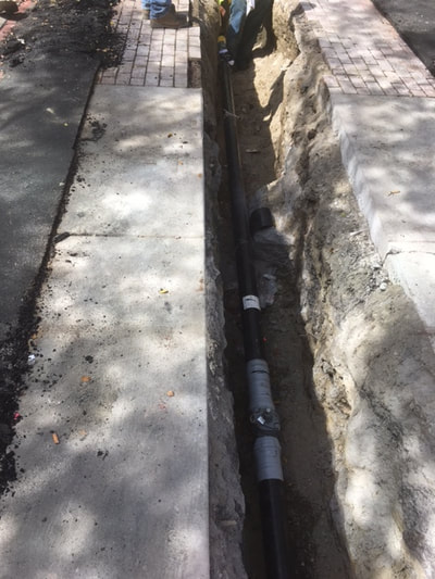
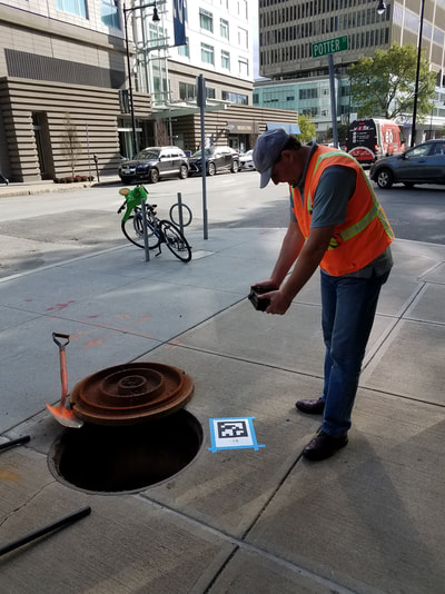
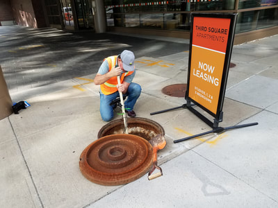
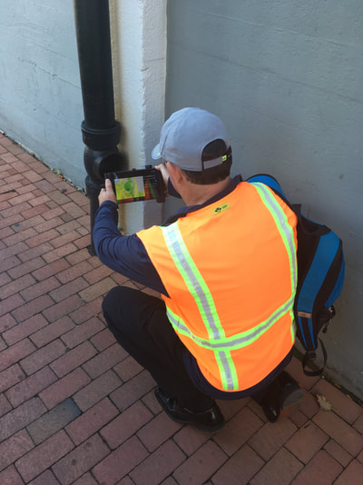
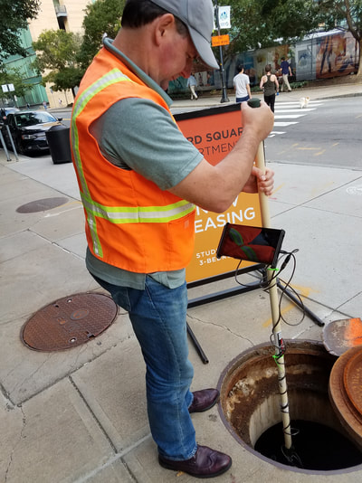
Dot3D scanning kits are changing the way utilities are documented, monitored, and maintained. Obtain accurate, full color 3D data in the field with the DPI-10 / DPI-10SR. Know what you have before you leave the site.
Create and maintain an accurate digital twin databases with real-time results and our highly compressed color 3D point cloud files. On the left, Anchorage Municipal Light & Power are shown capturing an underground electrical vault in full color detail with the DPI-10 and a custom light kit. |
|
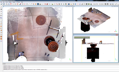
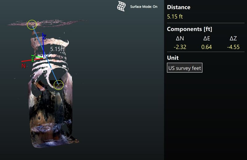
Easily integrate Dot3D data into your existing workflows. Our solutions integrate directly with leading 3D applications including Autodesk ReCap, Bentley Pointools, ClearEdge3D, Leica Cyclone, FARO SCENE, Trimble RealWorks, Aveva LFM, Z+F LaserControl, Rhino, and many more. On the right, we've shared some electrical vault and transformer data from Eversource Energy, shown in Autodesk Recap. Measure, crop, and export directly from ReCap for use in AutoCAD, Revit, Navisworks, and more. |
|
|
|
Dot3D kits are not only rapid and highly portable, but also very user-friendly. Designed as a true field tool, users are able to gain confidence with the technology in less than a day. Your field staff will be fully capable of capturing and processing all data on the tablet on site. These 3D files can then be easily shared in our highly compressed point cloud format. On the left, you'll see a complete electrical room from the New York City subway system shown in Dot3D Edit, the included full-function point cloud editor for Android or Windows. This room was captured in one Dot3D scan. |
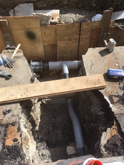
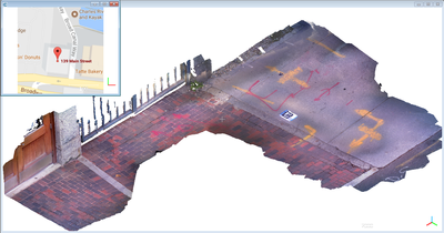
Underground Utility Mapping and Surface Survey Scanning:

