How can I merge my DPI-8X data with my tripod scan data? This is one of the most common questions from DPI-8X customers, and can be accomplished in a variety of ways.
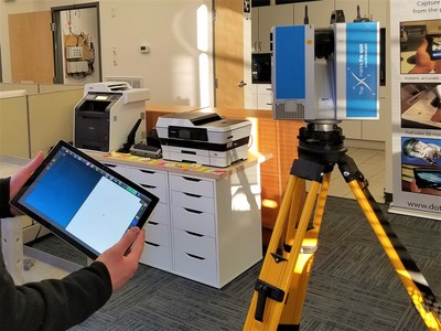
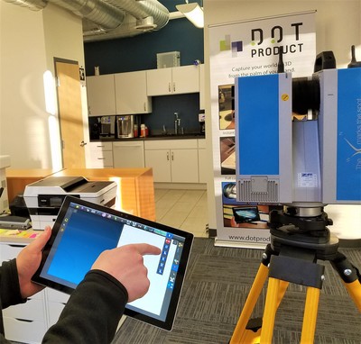
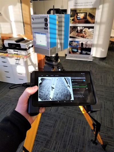
In today's video blog, I'm excited to highlight the workflow to register DPI-8X data with tripod scan data wirelessly in the field. With the DPI-8 or DPI-8X handheld scanner, Z+F 5010X or 5016 Imager, and Z+F LaserControl Scout scanning software, users are now able to add handheld data directly into their tripod data set in the field at the time of capture. LaserControl Scout is Z+F's solution to in-field registration and remote scanner control. Operating on a Surface Pro on site, this allows DotProduct and Z+F customers to align and register handheld and tripod data, all on a touchscreen tablet in the field with no need for wired transfer or moving data on USB drives.
Of course there are other ways to register DotProduct data with tripod-captured data. Within Phi.3D, setting a coordinate system or implementing survey control points allows you to georeference the data right on the tablet. Outside of Phi.3D, options range from using software such as Trimble Realworks or Leica Cyclone, Gexcel 3D Reconstructor, Autodesk ReCap or Bloom CE, or open-source programs such as CloudCompare. However, all of these options require post-processing of the data on a computer.
Step 2: Scan occluded area with the DotProduct DPI-8X (01:51)
Step 3: Register the two scans together with Z+F LaserControl Scout on the tablet (04:02)


 RSS Feed