
Happy New Year!
Thank you for continuing to follow along with us on our journey to make accurate mobile 3D scanning more powerful and accessible than ever. As we conclude business for the year, we'd like to take a few minutes to review some highlights from the past twelve months of Dot3D updates, look back on some of our recent major partnership announcements, and tease ahead to some exciting new updates coming very soon in the new year.
-The DotProduct Team-
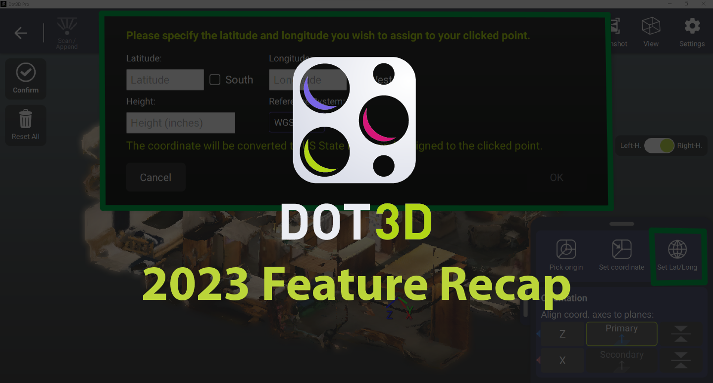
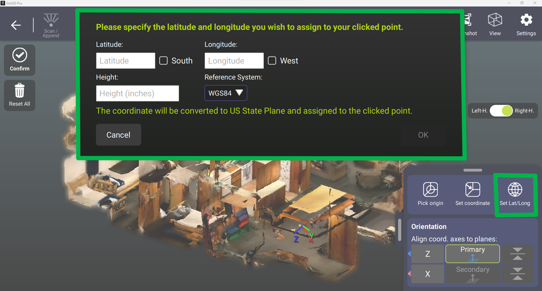
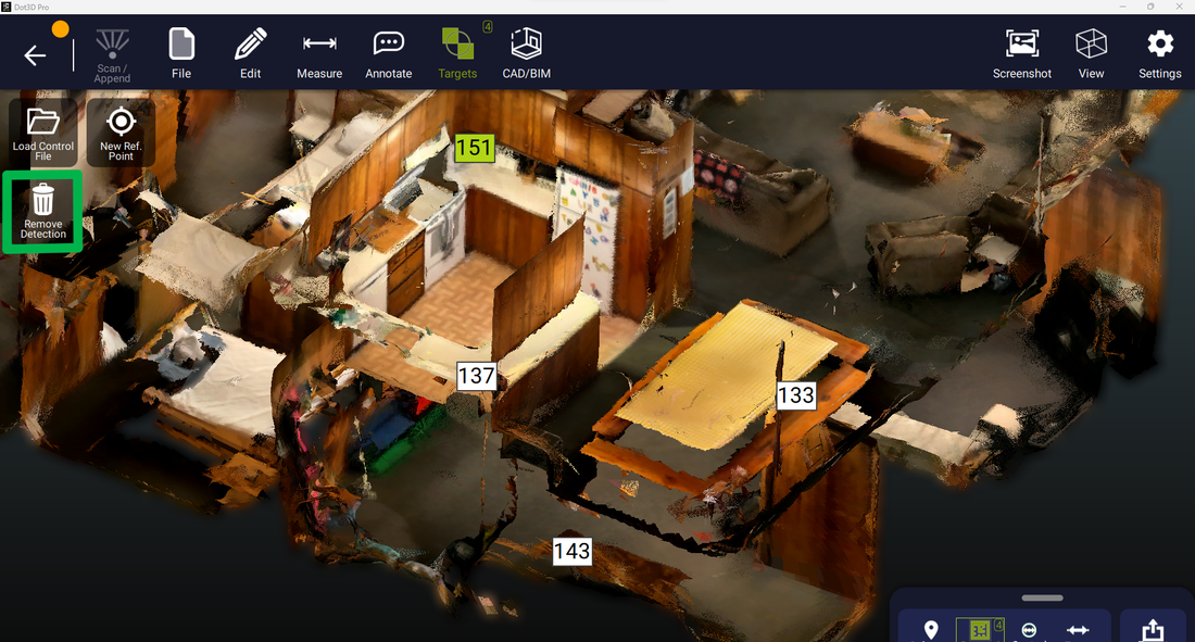
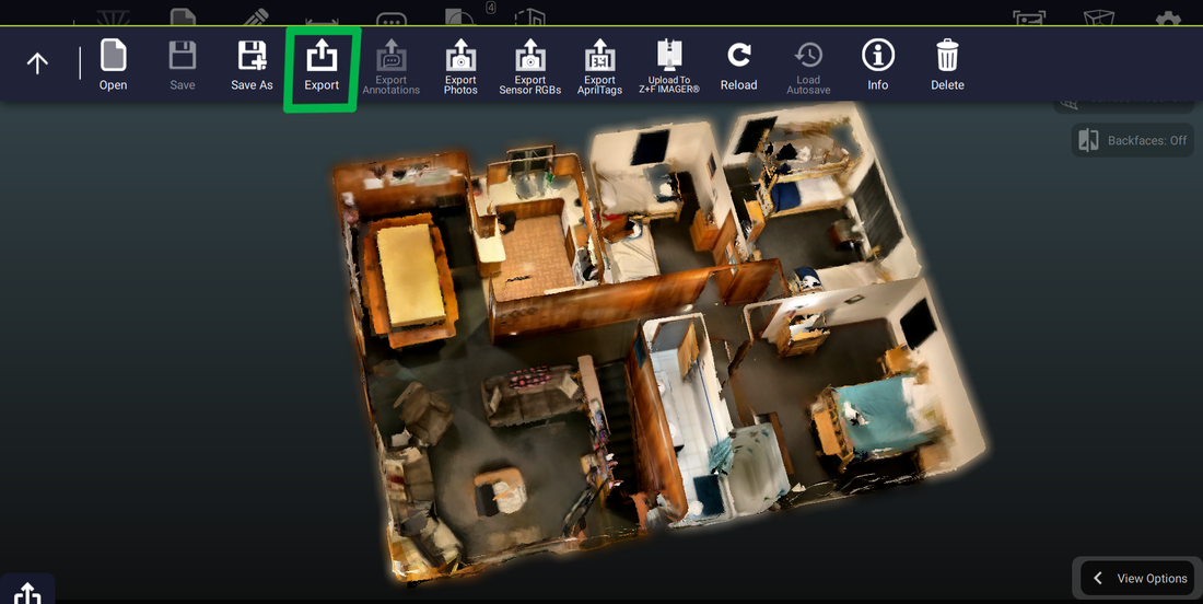
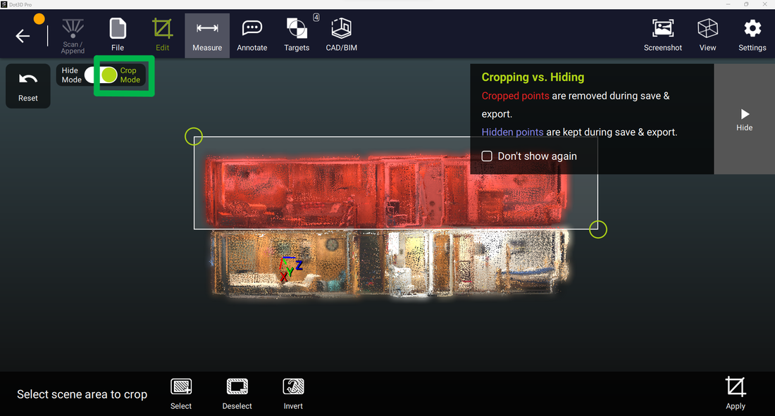
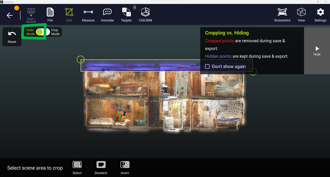
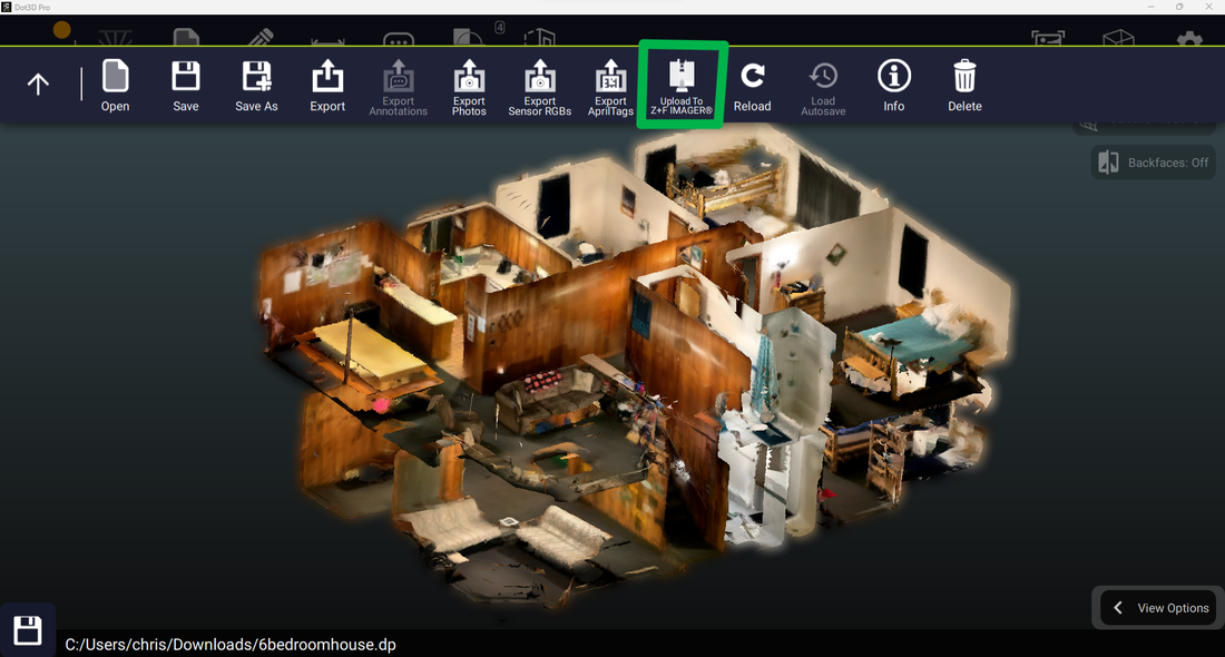
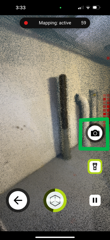
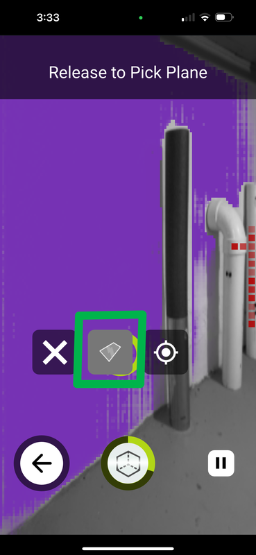
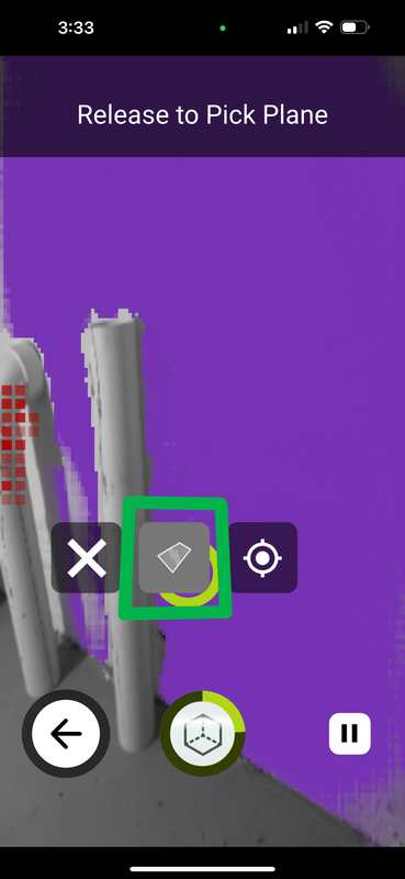
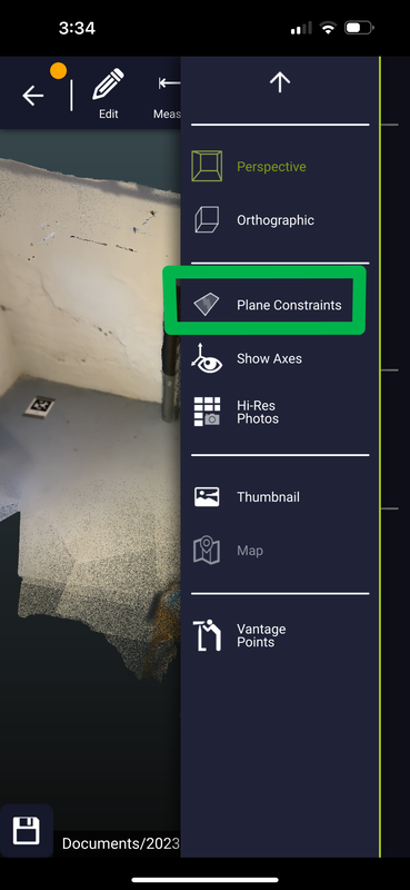
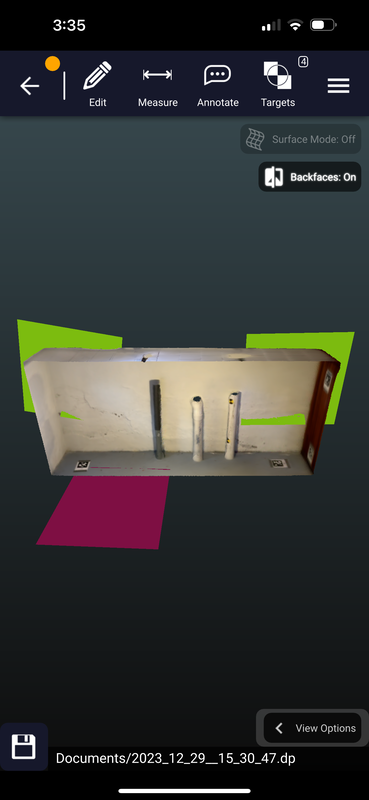
Dot3D Feature Recap
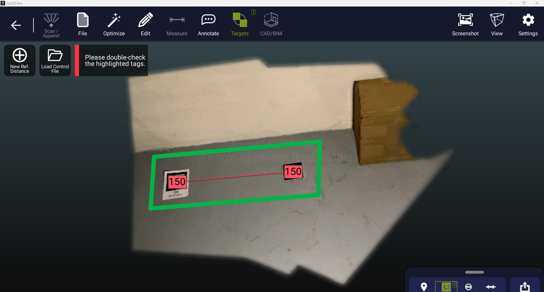
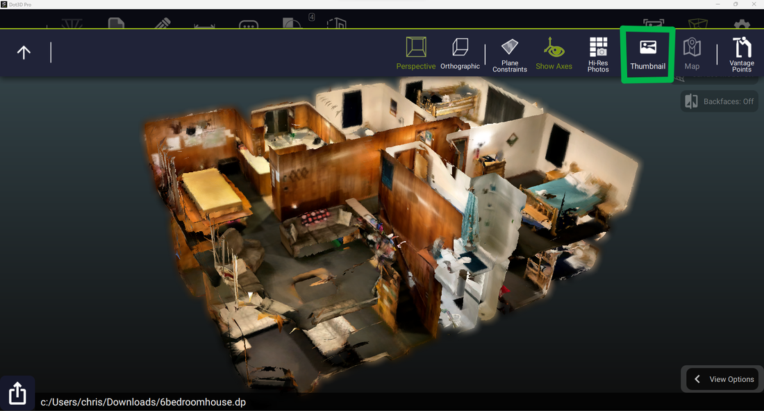
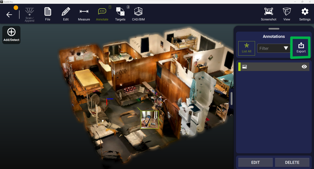
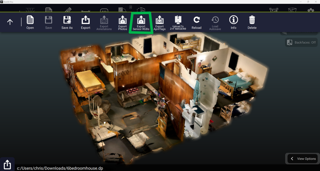
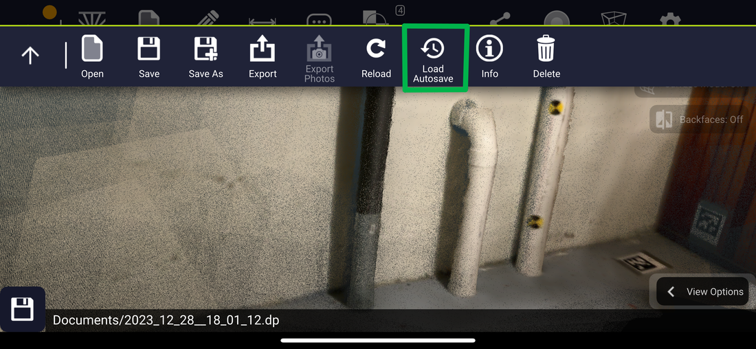
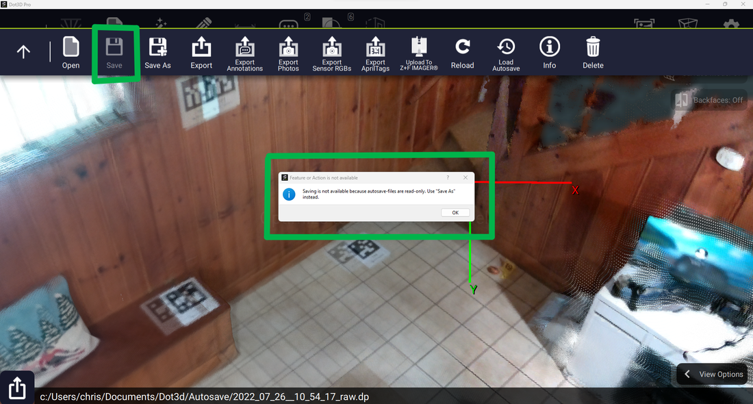
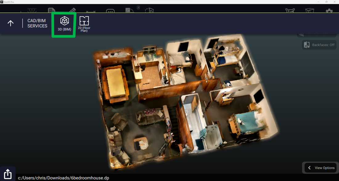
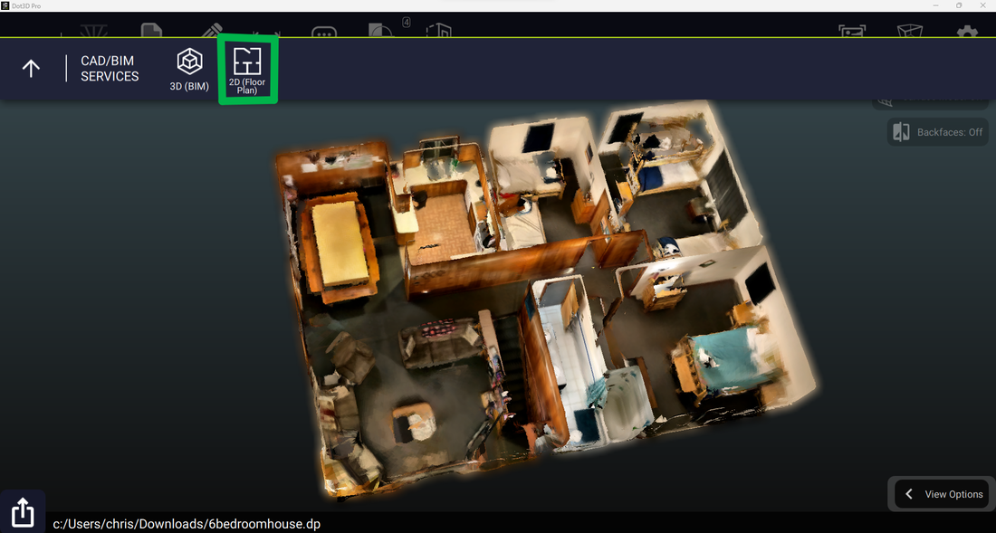
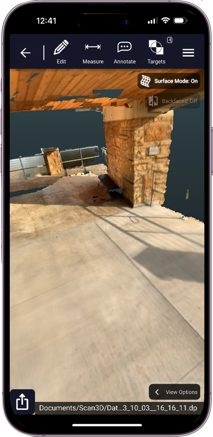
Are you up to speed with the latest Dot3D updates?
Are you taking full advantage of them?
Find out more in our latest blog on all that's new and where to find them!
Are you up to speed with the latest Dot3D updates?
Are you taking full advantage of them?
Find out more in our latest blog on all that's new and where to find them!
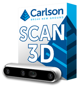
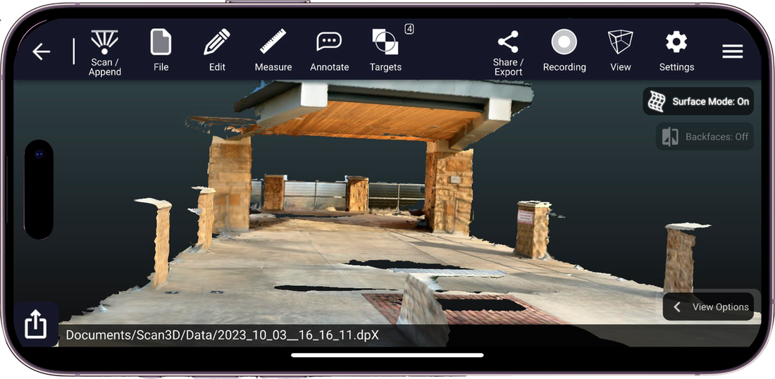
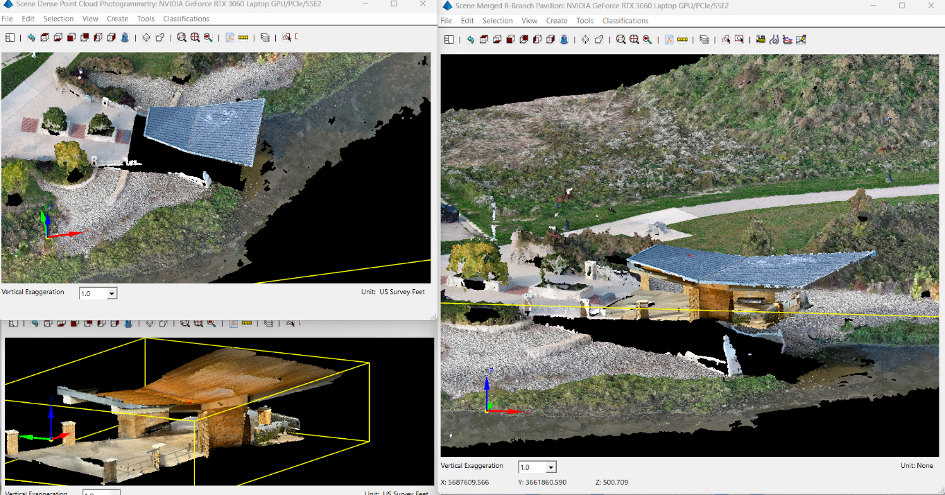
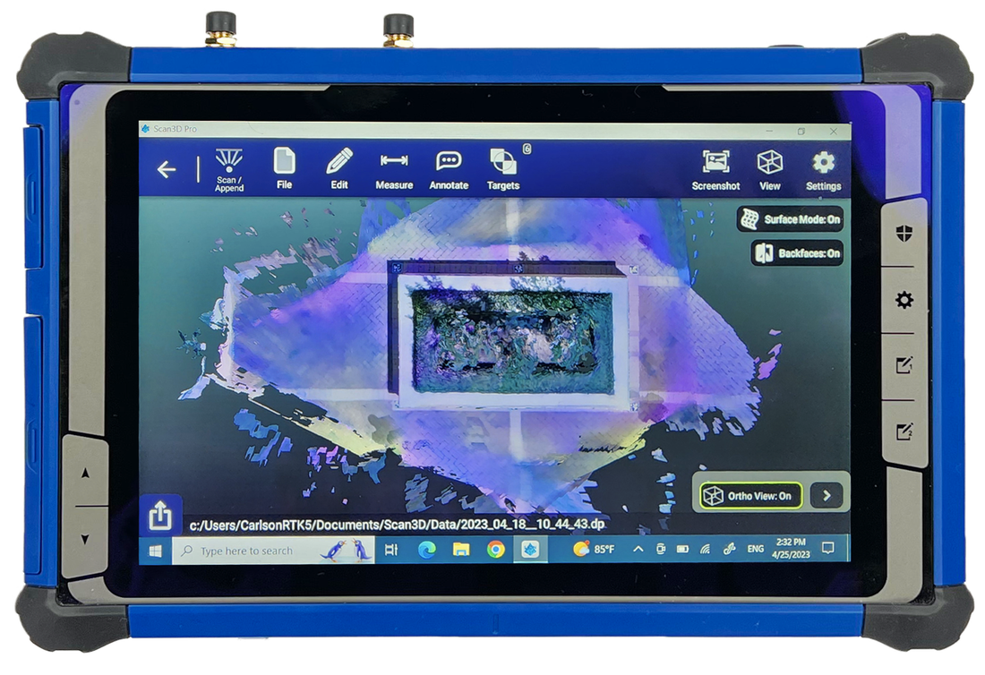
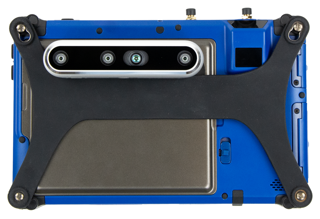
DotProduct partners with Carlson Software to launch powerful new 3D scanning application for Survey and Construction industries
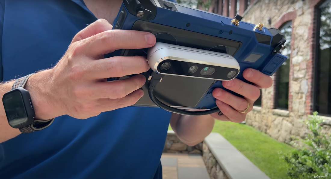
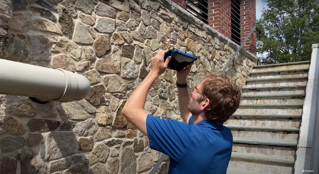
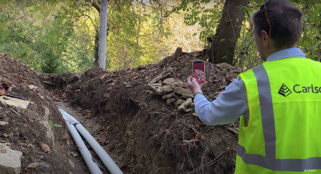
We're also very proud of this month's announcement of our collaboration with Carlson Software for the launch of the new Carlson Scan3D. This powerful new 3D scanning application is now available for both Windows and iOS platforms, delivering simple, fast and accurate handheld 3D scanning for land surveying, mining, construction and more. Please see below for the product launch video. We look forward to seeing much more from Carlson Scan3D in the new year.
We're also very proud of this month's announcement of our collaboration with Carlson Software for the launch of the new Carlson Scan3D. This powerful new 3D scanning application is now available for both Windows and iOS platforms, delivering simple, fast and accurate handheld 3D scanning for land surveying, mining, construction and more. Please see below for the product launch video. We look forward to seeing much more from Carlson Scan3D in the new year.

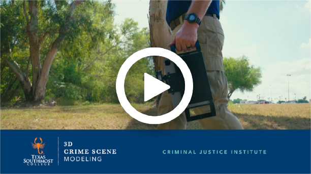
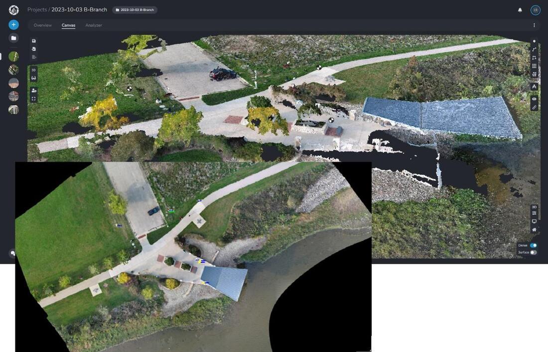
Texas Southmost College launches new Dot3D scanning course
We're also very proud of all our work with Texas Southmost College over the past year to help develop the curriculum and launch their new Dot3D Crime Scene Modeling course last month. This 1-week forensic course includes extensive classroom training and practical exercises on the use of Dot3D for crime and crash scene documentation. We look forward to seeing this program grow with the next course offering in March. Please click here for more information and registration, and see below for an excellent video on the course:
We're also very proud of all our work with Texas Southmost College over the past year to help develop the curriculum and launch their new Dot3D Crime Scene Modeling course last month. This 1-week forensic course includes extensive classroom training and practical exercises on the use of Dot3D for crime and crash scene documentation. We look forward to seeing this program grow with the next course offering in March. Please click here for more information and registration, and see below for an excellent video on the course:
So, what's next? Looking ahead into 2024...
What's a year-end newsletter without looking ahead to some of what's coming? Get ready for Dot3D 5.0+ on Android, Dot3D cloud sharing/viewing, exciting new GPS/GNSS capabilities, the return of Design Comparison, & much more.
What's a year-end newsletter without looking ahead to some of what's coming? Get ready for Dot3D 5.0+ on Android, Dot3D cloud sharing/viewing, exciting new GPS/GNSS capabilities, the return of Design Comparison, & much more.


 RSS Feed