
Tom Greaves, Chief Marketing Officer - DotProduct Boston
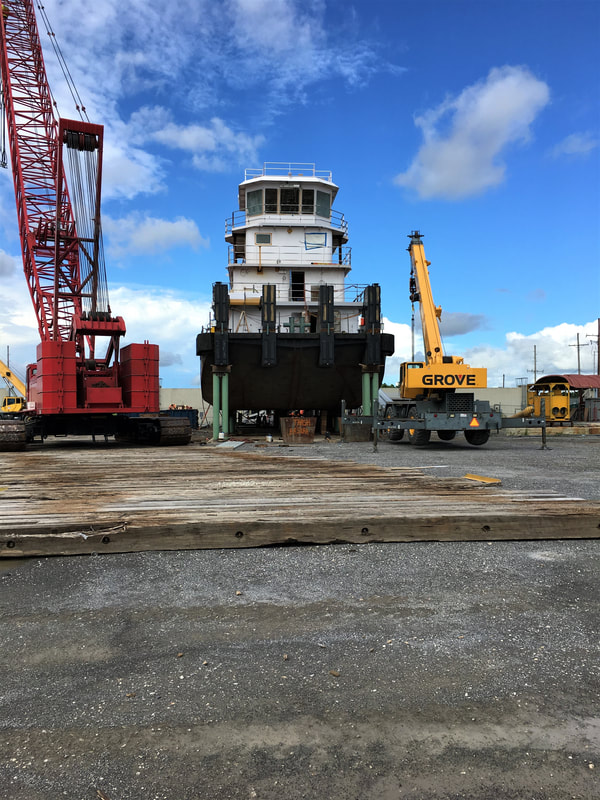
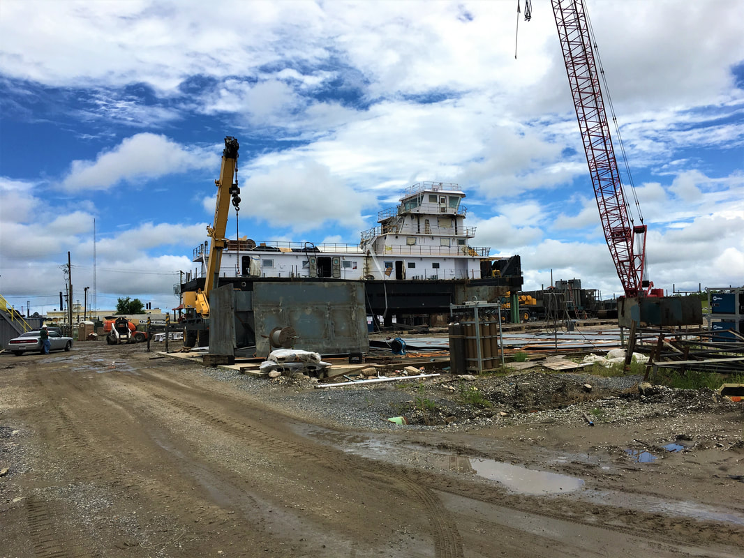
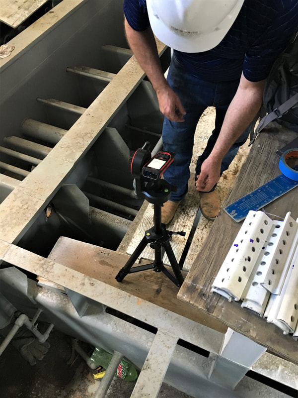
Last month I traveled to Florida Marine Transportation’s (FMT) shipyard just outside of New Orleans. Ship Architect’s Josh Trippi arranged for us to visit a new 120 foot pushboat under construction so we could capture the grating geometry prior to installation of deck material. FMT has a contract to build five of these workboats and the goal is to make them all the same.
Last month I traveled to Florida Marine Transportation’s (FMT) shipyard just outside of New Orleans. Ship Architect’s Josh Trippi arranged for us to visit a new 120 foot pushboat under construction so we could capture the grating geometry prior to installation of deck material. FMT has a contract to build five of these workboats and the goal is to make them all the same.
Trippi’s team had been onsite three weeks prior and had measured the grating geometry by hand using tape measures, plumb bobs and making sketches in a notebook so we had a good baseline to compare our handheld scanning against.
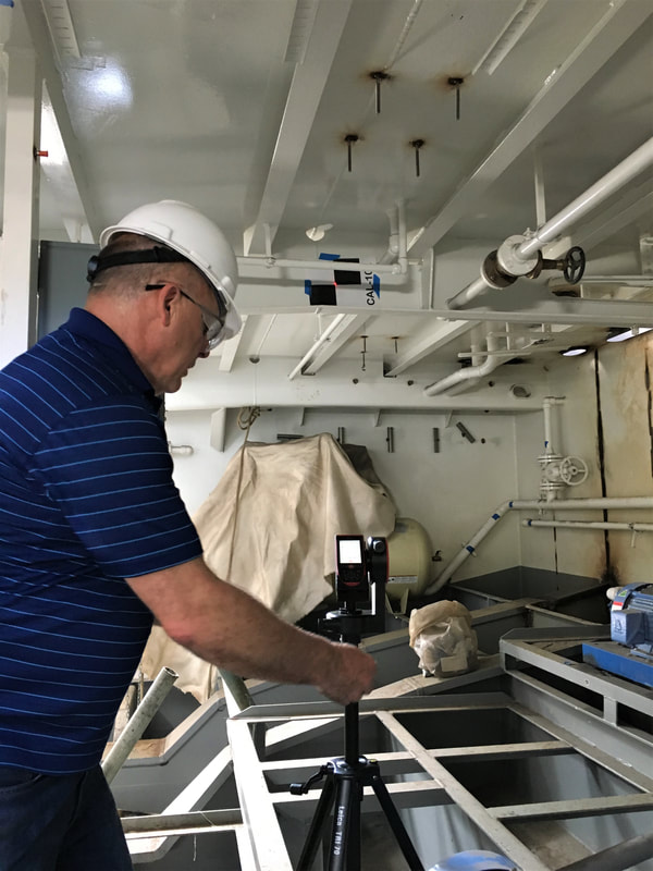
It was hot down in the belly of the boat; water was dripping everywhere and we endured a few dust clouds when some ventilation pumps started. My 30 year old Redwings which first served me on oil rigs in Oman and Abu Dhabi were just right to keep from slipping on the steel framework.
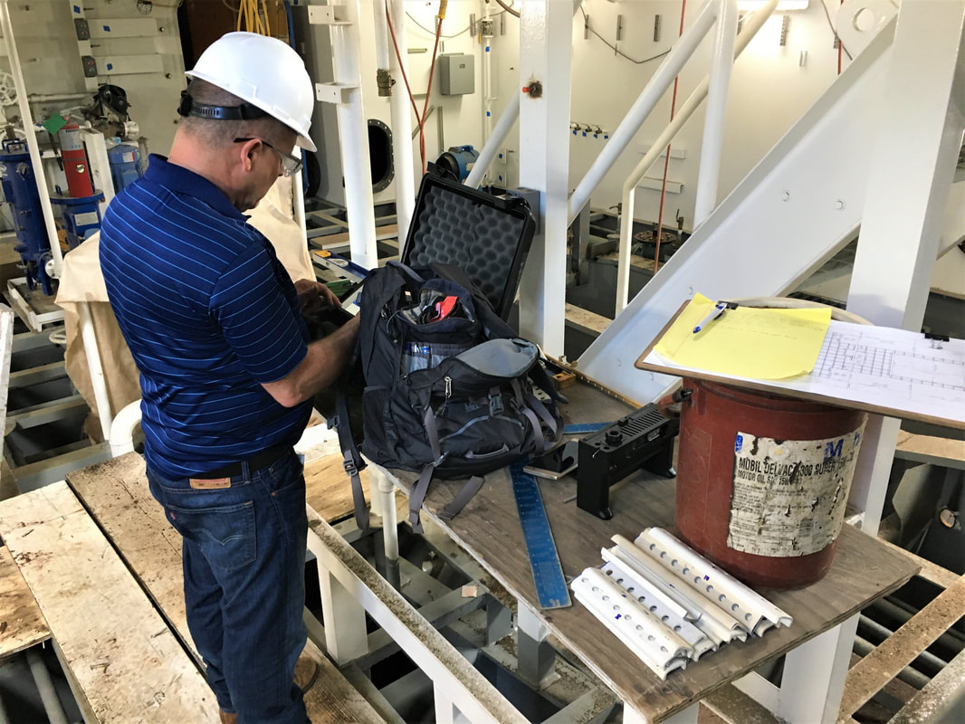
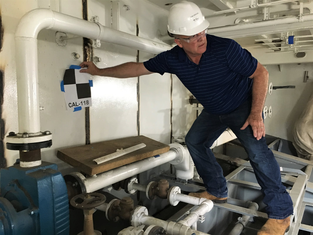
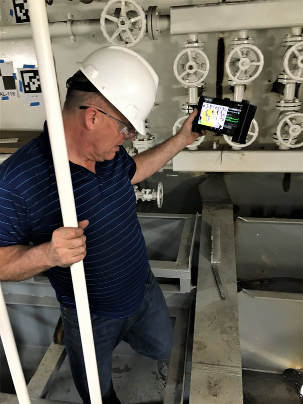
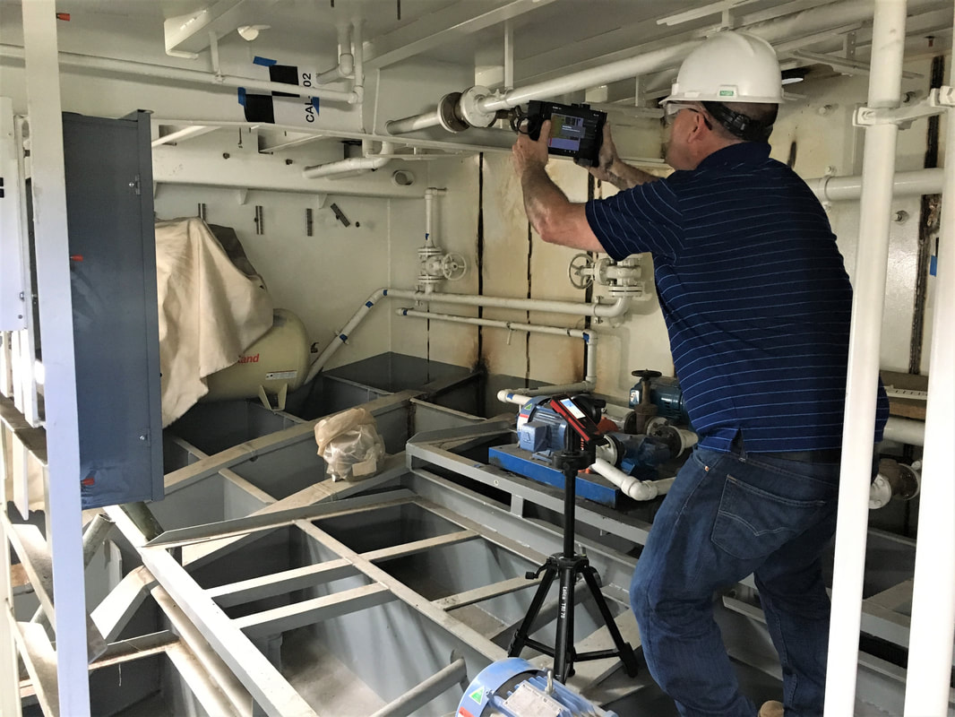
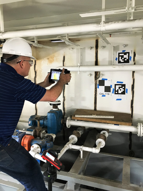
It took us about an hour to set up four survey targets and scan the area of interest. I used a Leica S910 disto to survey in the checkerboard target coordinates and then scanned the scene with our DPI-8X. The disto is a nice-to-have, not must-have but it does allow us to wring out scale and drift errors in the handheld data. We have a good workflow to use the control points we capture with the S910 or other disto’s as constraints in a post processing optimization step.
It was hot down in the belly of the boat; water was dripping everywhere and we endured a few dust clouds when some ventilation pumps started. My 30 year old Redwings which first served me on oil rigs in Oman and Abu Dhabi were just right to keep from slipping on the steel framework.
It took us about an hour to set up four survey targets and scan the area of interest. I used a Leica S910 disto to survey in the checkerboard target coordinates and then scanned the scene with our DPI-8X. The disto is a nice-to-have, not must-have but it does allow us to wring out scale and drift errors in the handheld data. We have a good workflow to use the control points we capture with the S910 or other disto’s as constraints in a post processing optimization step.
We got some excellent data which we subsequently registered with the Ship Constructor model which had been created from the measurements previously collected by hand. We got the data into ship coordinates by picking a common point and then using a bulkhead plane and level section of a stringer on both the CAD model and the point cloud. We exported the registered data sets to the Bloom Cloud Engine.


Measuring and documenting by hand allowed approximately 50.5 square feet/hour/person. We estimated capturing the data with the DPI-8X allowed approximately 136 square feet /hour/person; a whopping 270% improvement. We have yet to compare the modeling times with each method but we expect additional improvements because the scan data is digital and does not need to be entered by hand. Other advantages that we see include reducing the likelihood of having to make repeat visits to capture missing data – scan data is typically very complete as well as better visualization.

 RSS Feed