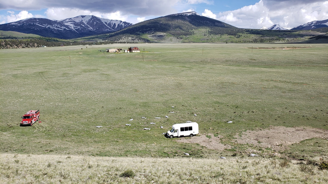
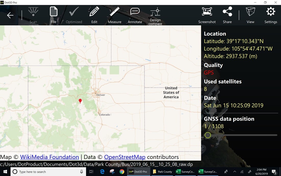
On June 14-15, I joined Don Comstock, deputy coroner, Park County, Colorado and his team to document a mass fatality simulation staged on the outskirts of Fairplay, Colorado. At 2966 m (10,000 ft.) the air is a little thinner than sea level in Boston. The DT Research tablet equipped with the Intel RealSense D415 depth camera and Hemisphere dual frequency GNNS sensor worked without a hitch but the operator, me, felt the altitude.
|
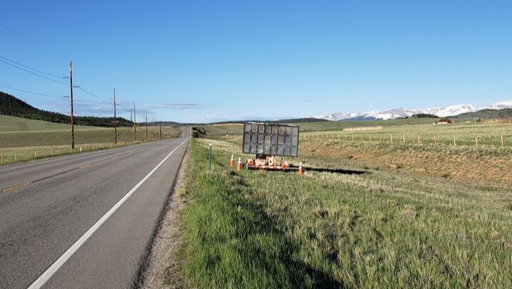
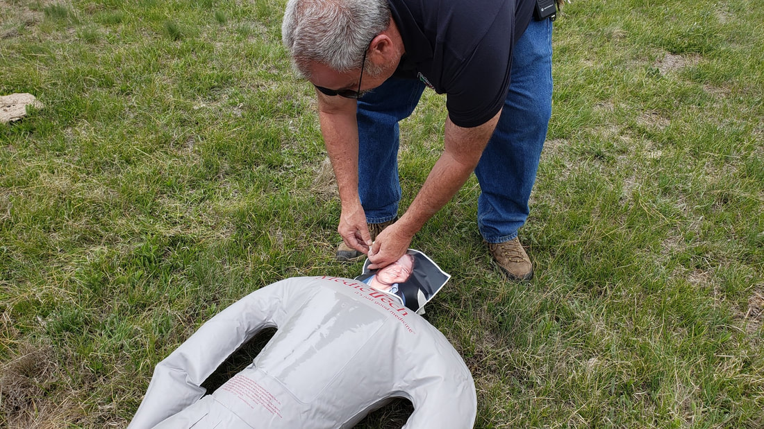
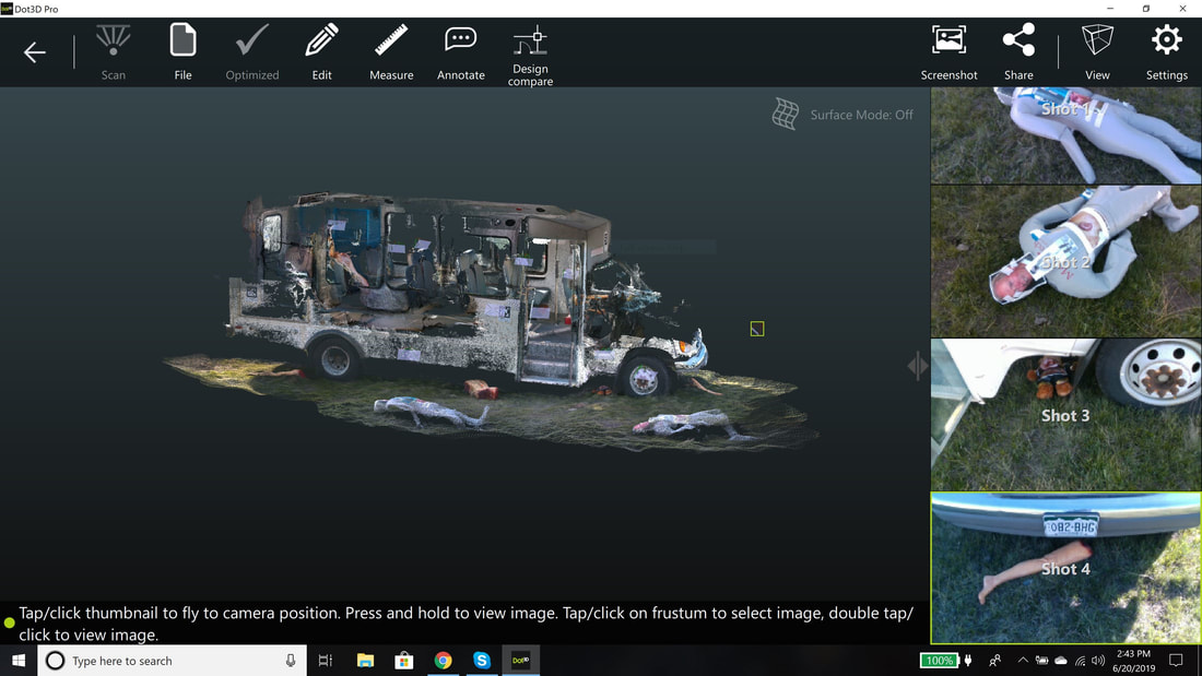
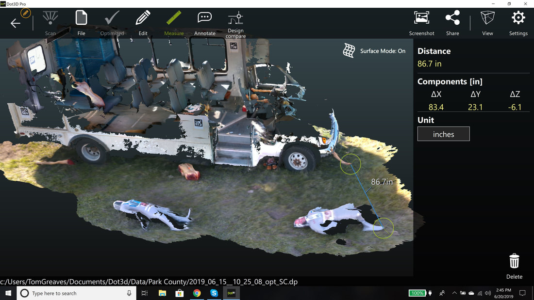
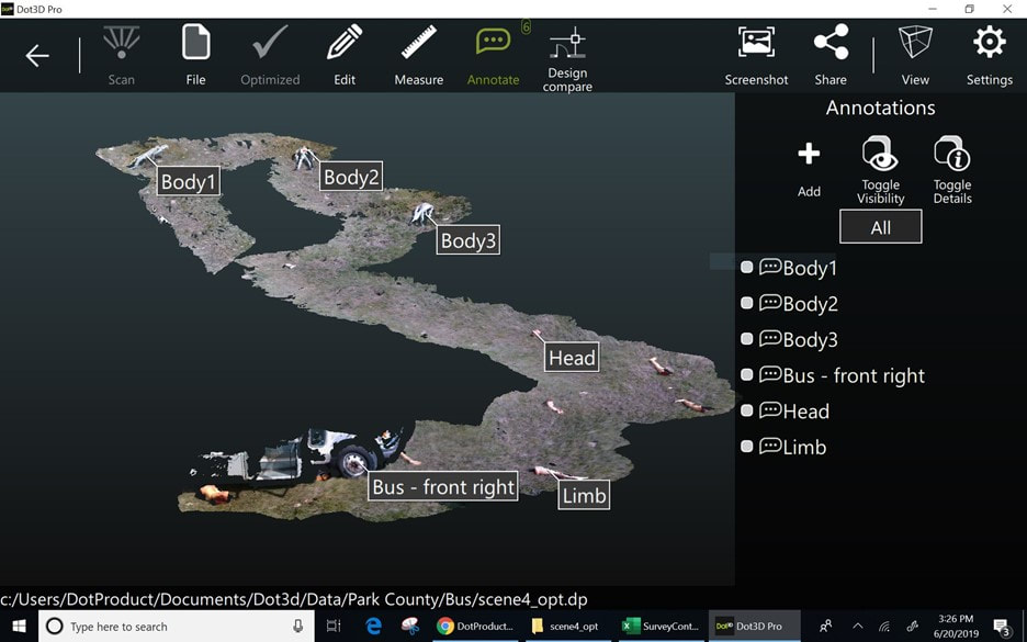
Tom Greaves, CMO - DotProduct Boston On June 14-15, I joined Don Comstock, deputy coroner, Park County, Colorado and his team to document a mass fatality simulation staged on the outskirts of Fairplay, Colorado. At 2966 m (10,000 ft.) the air is a little thinner than sea level in Boston. The DT Research tablet equipped with the Intel RealSense D415 depth camera and Hemisphere dual frequency GNNS sensor worked without a hitch but the operator, me, felt the altitude. The scene simulated a bus rolling over the embankment with more than 20 passengers. Inflatable dummies can be seen outside the bus and there were some inside as well. More than 75 first responders from nearby municipalities joined the event. While processing some data, I also got a rare view of the action back at headquarters where the response coordination took place. Most of us have no idea about all the effort and coordination required to respond to a catastrophe – every detail from contacting next-of-kin to managing the press to documenting the site to making sure first responders themselves are looked after. We captured the most the scene in full 3D with the DT Research tablet. The mobility of the tablet allowed the capture of geo-referenced data inside and outside the bus in just a few minutes. Geo-located high resolutions image were also captured – see Figure 4. Annotations and measurements of the scene were also taken. See Figures 5 and 6.
0 Comments
Leave a Reply. |
AuthorsChris Ahern Archives
July 2024
CategorIES |

 RSS Feed